 Throughout Northern Illinois there has been a lot of talk regarding the Great Lakes Basin Railroad. Landowners and business owners want to know how the railroad is going to affect them. We understand that the best way to know how the railroad is going to affect you is to be able to visually see what land the railroad is planning to be built on.
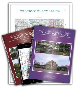
Rockford Map Publishers has the ability to overlay the proposed railroad route over any of our landownership map products. We have current plat maps for every Illinois and Wisconsin county the railroad is intending to run through so whether you are just interested in one township or the entire route – we can provide the map for you! These maps would be perfect for landowners, business owners, government officials, consulting firms, or anyone who would like to know more about who owns the land.
It is important to understand that the map data we can provide only shows the general location of GLB’s proposed route. The actual location of the railroad will depend on many factors. For additional information regarding the Great Lakes Basin Railroad please visit: https://www.greatlakesbasintransportation.com/