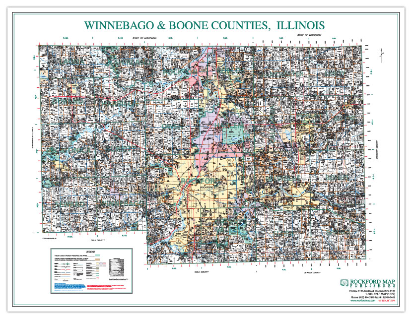
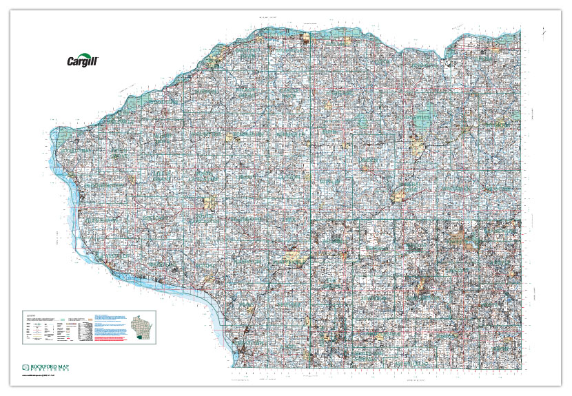
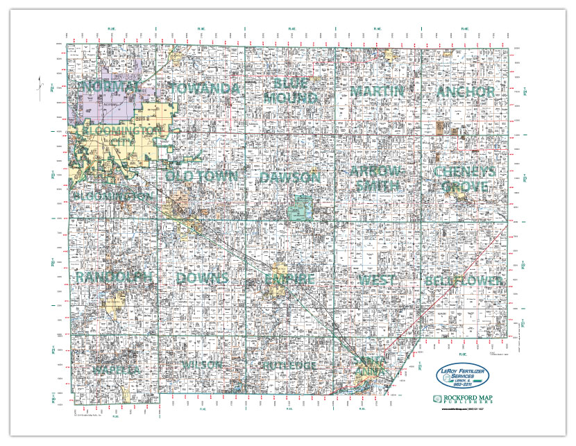
One of our more frequently requested custom wall maps are multi-county wall maps that feature landownership information. These are large wall maps that typically consist of 2-4 counties with shared boundaries. The average print size for these maps is approximately 5.5’ x 4’; however, we can produce any size map as long as one side does not exceed 60”. Even if you do not have enough open wall space to hang a map, we can produce and deliver your custom map as a digital file!
There are a lot of different features we can show on these maps as long as we have published plat books of the requested counties. All of the standard plat book features can be shown such as landowner names, parcel boundaries, acreage, section lines and numbers, roadways, waterways, and municipal boundaries. Depending on the request, we can add additional features such as 3D aerial imagery, town and range numbers, GPS coordinates, and more.
Need some type of unique data displayed? Just ask and we will see what we can do!
These maps are extremely beneficial to any plat book user interested in landownership information from more than one county. By having a seamless map, you can see where parcels are located across county boundary lines without having to consult multiple plat book pages.
If you had a multi-county plat map, what counties would it include?
Fill out our custom map quote form today and one of our custom mapping specialists will be in touch with you to discuss your ideas!
Samples: